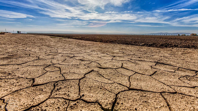
Australia’s Green Triangle became a major plantation forestry region after large areas of land were converted to commercial forests. Decades later, the Lower South East of South Australia is facing growing pressure on its groundwater system. Assessments show that plantations can reduce the amount of rainfall that reaches groundwater. Also, where water tables are shallow, the plantations use water directly from underground reserves. At the same time, groundwater-dependent wetlands have declined in condition, while current water allocations are considered unsustainable for the future.
Why are Green Triangle forests linked to falling water availability
Plantation trees can affect groundwater in two ways. Their roots take up soil moisture, while trees growing above shallow water tables can also draw directly from groundwater.A 2009 South Australian Government report found that plantations covered nearly 16% of the available landscape, including about 103,000 hectares of softwood and 43,000 hectares of hardwood plantations. The report also found that the region’s groundwater was already at, or approaching, full allocation, with some management areas over-allocated. The amount of water used by plantations became an important part of managing the wider groundwater resource.
Plantation forests also reduced groundwater recharge
The impact was not limited to direct water use. Planting trees also changed how much rainfall could replenish groundwater.The 2009 government report estimated that groundwater recharge beneath hardwood plantations was only 22% of the recharge expected under the dryland agricultural landscape they replaced, representing a 78% reduction. For softwood plantations, the estimated reduction was 83%.Where groundwater was 6 metres or less below the surface, the report used annualised extraction rates of 1.82 megalitres per hectare for hardwood plantations and 1.66 megalitres per hectare for softwood plantations. These figures were estimates intended to represent forest impacts over plantation cycles rather than direct measurements of individual trees.Overall, the report estimated plantation forests affected about 32% of the volume available for allocation in the lower South East.
Why wetlands are vulnerable to falling groundwater levels
The concern is particularly important because parts of the region contain ecosystems that depend on groundwater remaining close to the surface.The Green Triangle Limestone Water Impact Assessment identifies the South Australian plantation estate as being within the Lower Limestone Coast Prescribed Wells Area. The landscape includes internationally recognised wetlands such as the Ramsar-listed Bool and Hacks lagoons, along with parts of the Coorong and Lower Lakes Wetlands.The assessment says mature plantations can use an additional 100 to 150 millimetres of water each year after farmland is reforested. It also notes that water yields can decline as woody vegetation becomes more widespread. These changes matter most where wetlands rely heavily on shallow groundwater.
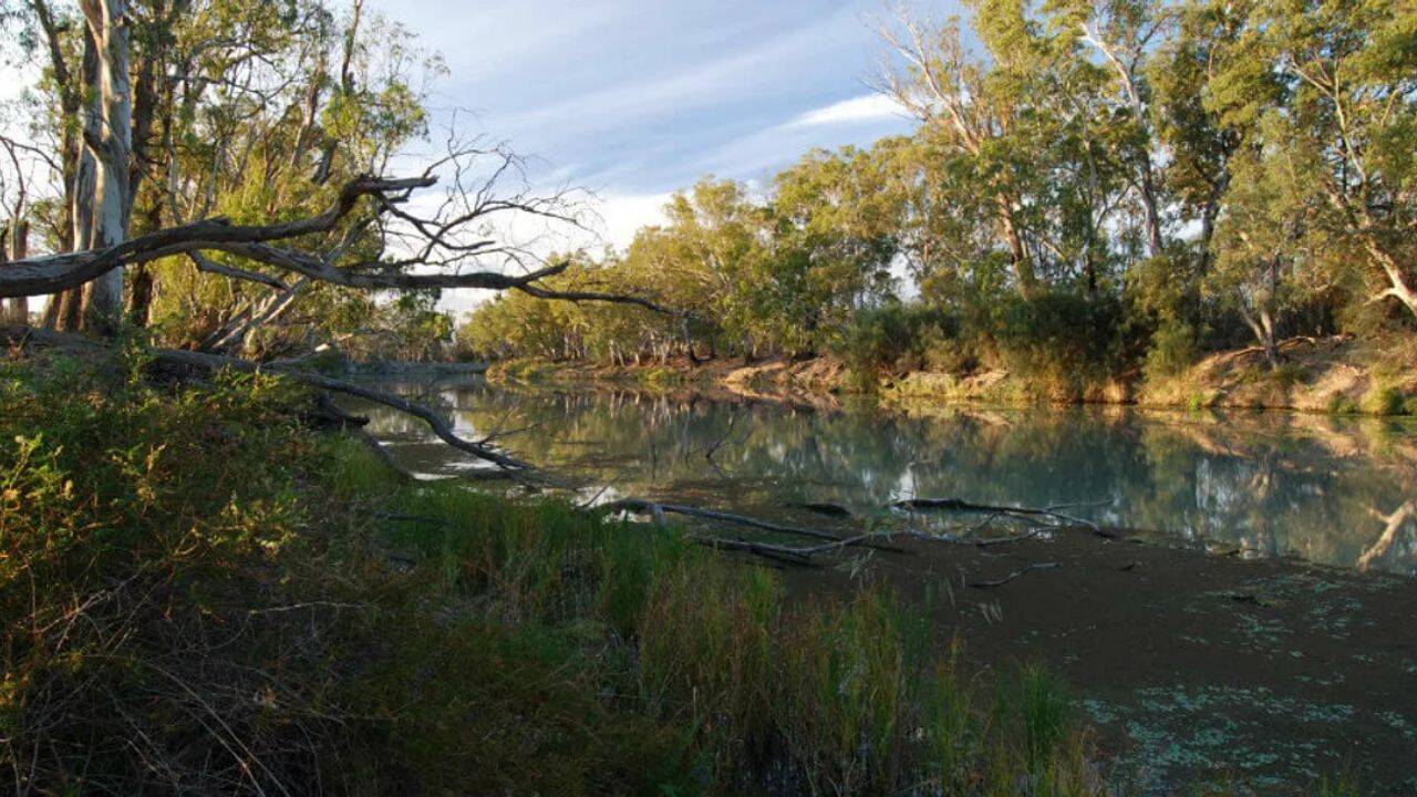
Image Credit: Department for Environment and Water
Groundwater-dependent wetlands have declined
The Lower Limestone Coast Water Allocation Plan reports that shallow groundwater-dependent wetlands are highly vulnerable to small groundwater declines.It reported that the condition of many groundwater-dependent wetlands had declined during the period covered by the 2013 plan. The review also found that underground water availability for these ecosystems had not been maintained or improved as intended.The assessments do not attribute every wetland change to plantations. Groundwater withdrawals, land use and climate conditions also affect the region’s water system. Plantation forestry is, however, one factor that must be accounted for when determining how much groundwater can safely be used.
How Australia changed the way it manages plantation water
The Lower Limestone Coast Water Allocation Plan, introduced in 2013, was the region’s first combined water allocation plan. It converted area-based licences into water volumes and established a system for managing commercial plantation forestry through forest water licences.The plan also included protections for groundwater-dependent ecosystems and measures for moving areas with excessive allocations towards more sustainable levels.Water availability has also influenced planting decisions. SFM reports that some properties without enough water for plantations were returned mainly to dryland agriculture. In some areas, Pinus radiata was planted instead of Eucalyptus globulus because it uses less water.
Why is the allocation system being reconsidered
The latest review suggests the issue extends beyond plantation forestry to the overall amount of groundwater being allocated across the region.The Lower Limestone Coast Water Allocation Plan states that current allocation levels will not be sustainable moving forward, particularly as the climate changes.The Limestone Coast Landscape Board states that no further water is available for allocation from the Lower Limestone Coast Prescribed Wells Area, which supports more than 3,000 water licences.The Green Triangle’s forestry industry sits within a much wider water challenge. Its plantations are economically important, but the same groundwater system supports agriculture, communities and wetlands. Decades of monitoring and assessment have shown that managing the region’s forests also means accounting for how their water use affects a limited groundwater resource.